Engineers facilitate the restoration of lake deltas
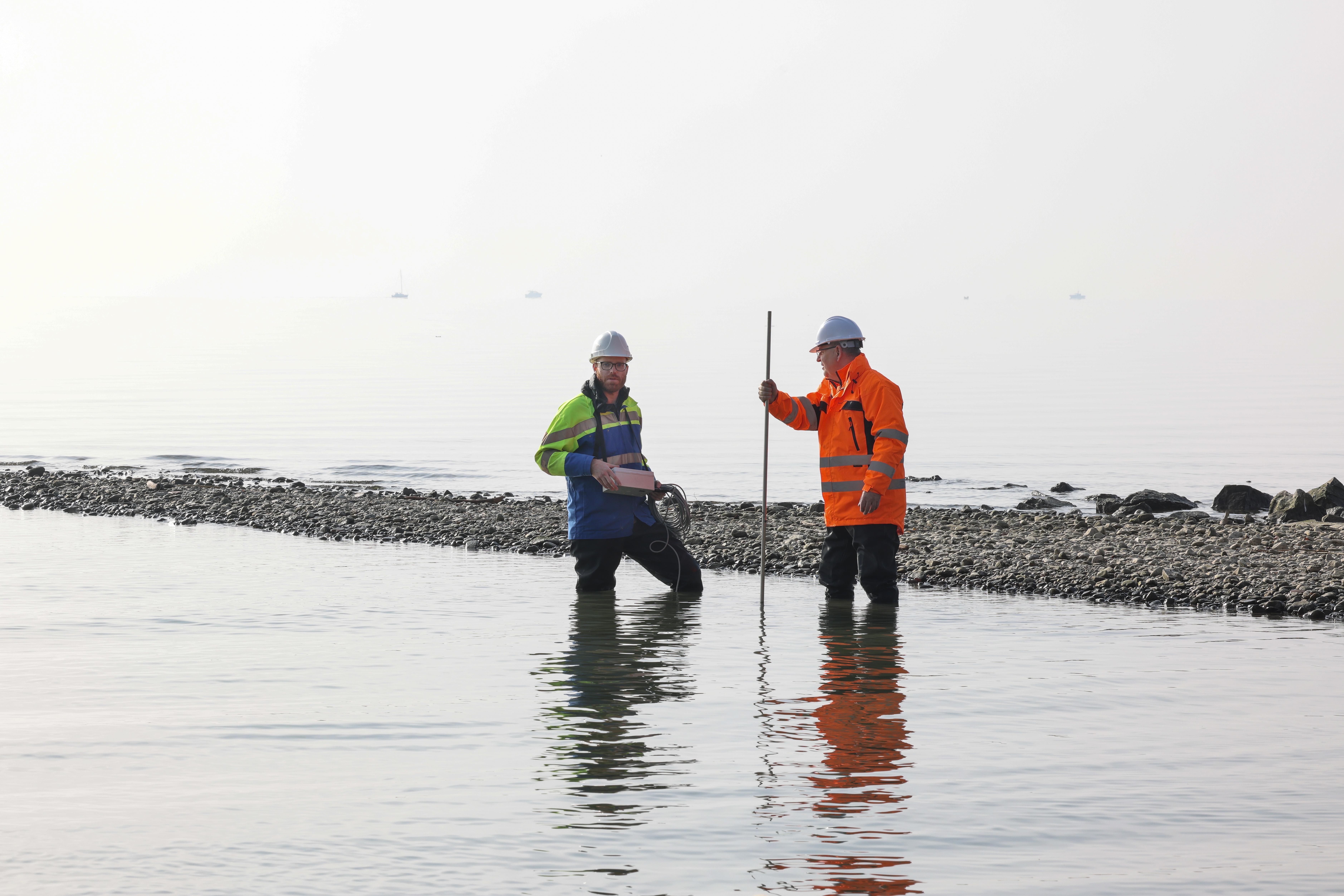
Chamberonne delta.© A. Herzog/C. Reymond/EPFL
Engineers from EPFL and partner organizations have developed a method for classifying lacustrine deltas based on morphological parameters, in order to determine which of the deltas severely altered by human activity are best suited for restoration to their natural state.
The Reuss delta on the edge of Lake Lucerne is once again a nature-lover’s paradise, complete with gravel islands and stretches of shallow water where plants, animals and bathers coexist in harmony. Thanks to a series of restoration projects, engineers have been able to recreate the delta’s natural ecosystem, fostering biodiversity and helping to protect the shoreline. It’s a far cry from the riprap that had previously dominated the landscape. The Reuss delta is one example of the lacustrine delta restauration work that Alexandre Fourrier studied as an environmental engineering student at EPFL’s School of Architecture, Civil and Environmental Engineering (ENAC). For his in-company Master’s project, he investigated morphological processes in lacustrine deltas. His research was supervised by Giovanni De Cesare, the operational director of EPFL’s Hydraulic Constructions Platform, Marina Launay from the Gruner engineering firm, and Stéphanie André from Vaud Canton’s department of the environment. They developed a new method that can drastically simplify the preliminary studies performed by engineers ahead of restoration work. The study findings were published recently in Ecological Engineering.
In 2011, Switzerland passed an amendment to its water protection act making it mandatory to restore watercourses such as rivers and streams. This led to the implementation of restoration plans for the country’s large rivers such as the Rhone, Reuss and Aar. In Vaud Canton, over 40 kilometers of watercourses have been restored since 2014. The law also applies to lakeshores and lacustrine deltas – and this poses particular challenges for Lake Geneva, where only 3% of the shore is still in its natural state.

Reconnecting rivers and lakes
Since the late 19th century, anthropization – the alteration of natural environments by human activity – has been taking place on a growing scale. One example is the construction of dams to prevent flooding. Often, anthropization involves building farms, manufacturing plants and infrastructure on river deltas. “Today, restoring these deltas means opening up dikes and creating space for a range of habitats to develop that can support biodiversity,” says Fourrier. “It also means allowing rivers to flow back into lacustrine deltas, which all have their own dynamics. This would allow the sediment carried in river water to be deposited at the river mouth, thus helping to prevent the erosion caused by waves and lacustrine currents.” He offers a telling example: “Anthropization in the Reuss delta has caused the shoreline to recede by over 100 meters.”
The method that Fourrier and his colleagues developed has the advantage of being particularly easy to use, since it relies on just two parameters. “Engineers can use it to evaluate a delta’s restoration potential by entering the slope of the upstream watercourse and the opening angle of the delta,” he says. The method can also help determine the space required for the water course to fulfill its natural functions. The method results in a diagram like the ones used to classify rivers according to their morphology. “Alexandre’s approach is a genuine breakthrough because this type of classification had never been done before for river deltas,” says De Cesare. Experts at Gruner had identified the need for such an approach based on restoration projects they had carried out in conjunction with Vaud Canton.

Traveling through time
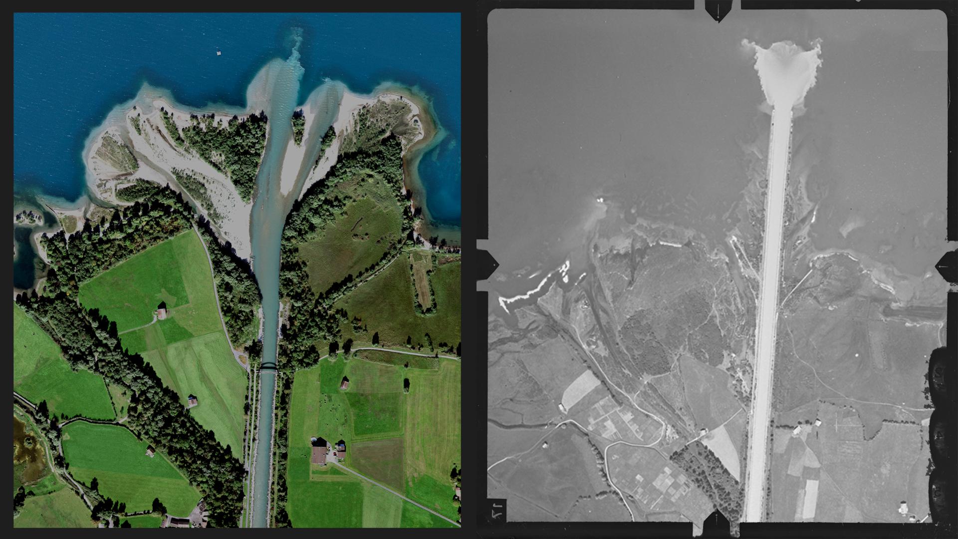
The engineers identified four different morphology types, partly through a search of the literature, and partly by applying their method to some 200 lacustrine deltas around the world. For that, they used images available on Google Earth along with aerial topographical images dating back to the 1920s assembled by Swiss public officials.
These images enabled the engineers to travel back in time and see the changes in river deltas following successive development projects. For instance, in 1850 the Reuss delta had an 85-degree opening angle, but as levees were built and other forms of anthropization occurred, the delta morphed into a straight line. An initial restoration project was completed in the 1990s, giving the river much more space. Today, the delta has an opening angle of 60 degrees. “This case study shows experts how they can restore deltas to as close as possible to their original state while taking into account modern-day constraints associated with population growth, urban development and farming near the river mouth,” says De Cesare.