The shape of cities shapes the weather

© Thinkstockphotos.com
The features that make cities unique are important to understanding how cities affect weather and disperse air pollutants, researchers highlight in a new study.
Compared to their surroundings, cities can be hot – hot enough to influence the weather. Industrial, domestic, and transportation-related activities constantly release heat, and after a warm day, concrete surfaces radiate stored heat long into the night. These phenomena can be strong enough to drive thunderstorms off course. But it isn’t only about the heat cities release; it’s also about their spatial layout. By channeling winds and generating turbulence hundreds of meters into the atmosphere, the presence and organization of buildings also affect weather and air quality.
In an EPFL-led study published in the Journal of Boundary Layer Meteorology, researchers have shown that the way cities are represented in today’s weather and air quality models fails to capture the true magnitude of some important features, such as the transfer of energy and heat in the lower atmosphere. What’s more, they found that processes that atmospheric sensors are unable to sense are essential to more accurately represent cities in weather models.
Stirring up the air
When wind blows over a city, buildings interact with the moving air mass, generating turbulence, much like sticking your fingertips into a stream causes visible vortices to form on the water surface. This turbulence spreads up into the atmosphere and down into the streets. As a result, more heat, humidity, and pollutants are transported upwards from the ground. At the same time, more of the wind’s turbulent energy dissipates between streets, in gardens, or in other open spaces.
“What we showed in our work is the importance of taking into account the spatial variability of cities – the unique features that make Paris Paris and London London,” says Marco Giometto, the first author of the study. “Most city representations used in weather models are based on data obtained from tower measurements made at a particular location within the city, which current models approximate as a rough patch of land. The transport of heat, humidity, or pollutants is then computed using mathematical relationships. These relationships implicitly assume that the city is geometrically regular, which is a stringent assumption,” he says.
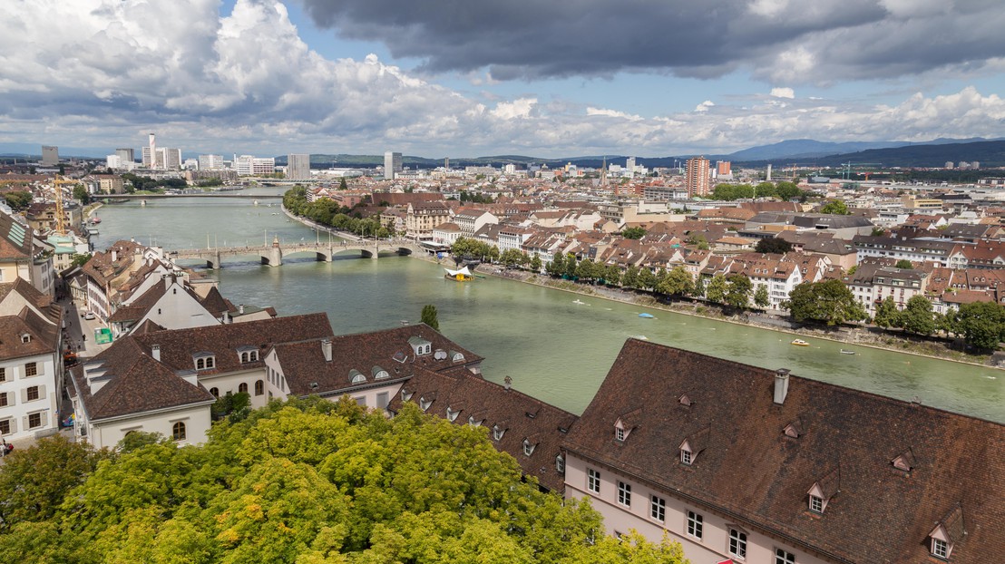
Giometto and his colleagues performed a series of detailed simulations of the wind flow over and within a neighborhood of the city of Basel and compared results against wind tower measurements collected within the same area. By accounting for the spatial variability of streets and buildings in the same Basel neighborhood they were able to show that, for certain parameters that play a role in the local weather and the dispersal of smoke, smog, or other pollutants, approximating the city as an uniform patch of land can lead to errors up 200 percent.
Animation of the results of a high resolution computer simulation of atmospheric turbulence in a neighborhood of the city of Basel, Switzerland
Going beyond the status quo
“Weather models obviously can’t include detailed representations of all large cities,” says Giometto. High-resolution simulations require time and resources that are not available to weather forecasters. Instead, he argues, going beyond the status quo of likening cities to rough patches of land will require developing new, more accurate ways to translate specific urban settings to minimalist representations that can then be integrated into a computer model.
In particular, Giometto’s findings highlight the importance of accounting for dispersive terms that arise due to the spatial heterogeneity of cities. In the mathematical equations that govern the movement of the air, they do just what their name indicates: they disperse pollutants, heat, humidity, or even energy. “You can picture them as mini air-circulations, locked in between buildings that transport warm and polluted air up from ground-level on one side and draw down cleaner and cooler air on the other,” says Andreas Christen, a coauthor of the study. But unlike the wind speed or direction, a single weather station is unable to measure these dispersive terms directly, which is where the computer simulations come in.
“We need accurate computer simulations of the wind over cities to estimate dispersive terms for the prevailing wind directions,” says Giometto. Ultimately, this information will allow to develop accurate models, that will benefit urban residents. A better understanding of how cities affect the air within and above them, and better tools to account for these effects, would not only contribute to improving urban weather forecasts and the evaluation of the spread of pollutant plumes and smog in urban settings. In the future, they could also contribute to making cities more energy efficient and, maybe one day, a little bit less hot.
This study was carried out be researchers from the Ecole Polytechnique Fédérale de Lausanne (Switzerland), the University of British Columbia (Canada), Johns Hopkins University (USA), and TU Braunschweig (Germany).
Reference: Giometto, M. G., Christen, A., Meneveau, C., Fang, J., Krafczyk, M., Parlange, M. B.; Spatial Characteristics of Roughness Sublayer Mean Flow and Turbulence Over a Realistic Urban Surface, Boundary-Layer Meteorology (2016), pp 1-28, DOI: 10.1007/s10546-016-0157-6