PGIS Toolkit Project Closing Conference

© 2023 CEAT
CEAT Lab organized a closing conference for the Participatory GIS Toolkit research project, funded by Tech4Dev. The project focused on two countries spanning two continents: Kenya and Nepal. This event brought together all project stakeholders, along with prominent researchers in the field of mobility.
The final conference of the project "A Participatory GIS Toolkit for Transportation Needs Assessments in Rural Areas" was organised by The Communauté d'Études pour l'Aménagement du Territoire (CEAT), EPFL in Lausanne, on 28-29 September 2023. This project, funded by Tech4Dev in 2021 for two years, advanced a set of tools and participatory methods to address data scarcity relating to mobility in rural areas of the Global South. The tools and methods advanced by the project compose a PGIS "toolkit" that was implemented in Kenya and Nepal, and the results include the development of maps and analysis shared with the communities where the research took place. The project was conducted in collaboration between CEAT, World Bicycle Relief (WBR), and Nepal Flying Labs (NFL).
The final conference aimed to discuss the project's results and outputs with other researchers and professionals who work in development and mobility challenges in the Global South, and who could contribute to the scientific debate with their cutting-edge research.
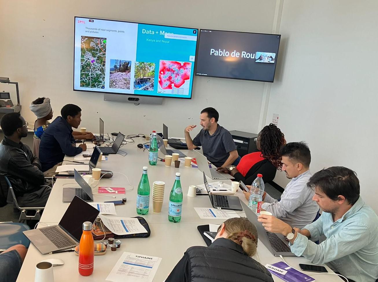
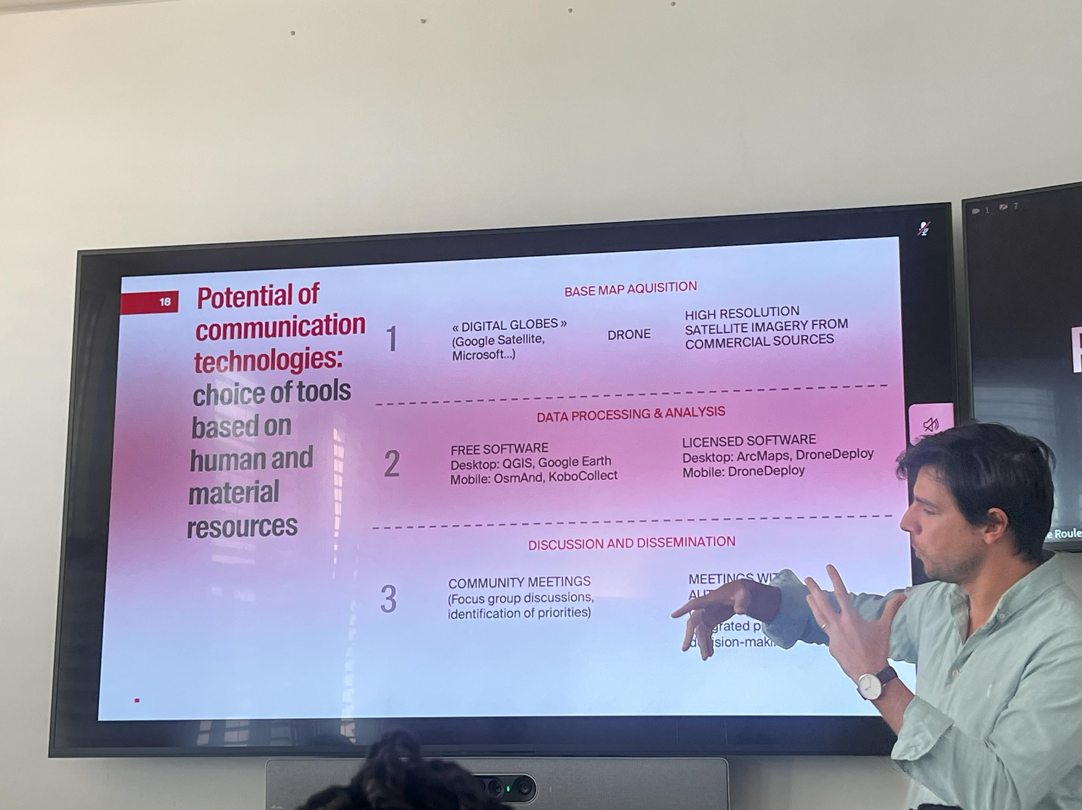
Jérôme Chenal, the head of the CEAT lab, and Tiphaine Detoudeville, the programme manager at Tech4dev, opened the event. Following their welcome messages, Pablo de Roulet, the project coordinator, summarized the project and introduced the Participatory GIS platform developed during the project, called USAFIRI. Its Key features and functionalities and the methodology used for future development were presented and discussed. Uttam Pudasaini, the Executive Director of NFL, took the floor to discuss the future development of USAFIRI. Then, the Research Director of WBR, Alisha Myers, highlighted WBR's field activities and how they transcend to the Tech4Dev project contribution. Finally, Jean-Claude Baraka Munyaka presented the multi-level PGIS framework.
Estelle Kabran, a lecturer and researcher at Félix Houphouët University Boigny Abidjan since 2018 and researcher at the Centre Suisse de Recherches Scientifiques in Côte d'Ivoire since April 2015, presented her research on Waterfront Metropolis in Abidjan and on the creation of the new transport lines by lagoon way in Abidjan, reference (STL). El Bachir Diop, a lecturer and researcher at the Center of Urban Systems (CUS) at Mohammed VI Polytechnic University (UM6P), presented on machine learning methods to model different mobility modes in African cities based on crowdsourced GPS data. Vitor Pessoa Colombo, a CEAT researcher and lecturer at EPFL, presented a theoretical framework to assess to what extent "participatory GIS" and "volunteered geographic information" methods are indeed participatory. This framework was based on community empowerment and the appropriation of data, information, and GIS tools by the data subjects (those who live in the studied areas).
EPFL Tech4Dev
Images to download