High-resolution mapping produces ecological data

© 2015 EPFL – Kevin Leempoel
Beyond simple topographic data, high-resolution digital elevation models can provide estimates for a diverse range of ecological variables. But as shown in a recent study, higher resolution models do not always provide more accurate results.
Digital elevation models are detailed three-dimensional representations of terrain that are used in computer applications such as Google Earth. They have long been used to determine topographical parameters, such as elevation, slope, exposure, and curvature. Now, a new class of “very high-resolution digital elevation models” that represent terrain in unprecedented detail could be used to estimate the spatial variability of important climate parameters as well. But in a recent publication in the journal Methods in Ecology and Evolution, researchers from the Ecole Polytechnique Fédérale de Lausanne and the University of Neuchâtel show that higher resolution models do not always guarantee accuracy.
Kevin Leempoel, the lead author of the study, is interested in understanding how organisms adapt to their local environment. Using statistical tools, his aim is to find out whether any genetic traits of the organisms correlate with the environmental features of their niche. To do so, he has to capture the variability of environmental parameters, e.g. temperature, as accurately as possible. “At a large scale, we typically assume that temperature varies with altitude,” he says. “But at a local scale, we sometimes measure differences of up to five degrees Celsius on the same ridge. We observed that parameters related to the topography have a crucial impact on the local habitat of plants, and we can capture some of this using high-resolution elevation models.”
In the past, digital terrain models typically mapped altitude at a resolution of tens meters or more. More recently, airborne laser scanning has made it both easier and cheaper to accurately map terrain at much higher resolutions, up to 50 centimeters. This means that a number of parameters that could only be poorly estimated in the past, such as the ruggedness of a surface, can now be accurately estimated using high-resolution models.
“The diversity of variables that researchers extract from digital elevation models is still quite limited,” says Leempoel, who works at the Landscape Genetics Group, which is part of EPFL’s Laboratory of Geographic Information Systems. “One of our goals was to validate some less common measures so that we can use them confidently in future work.”
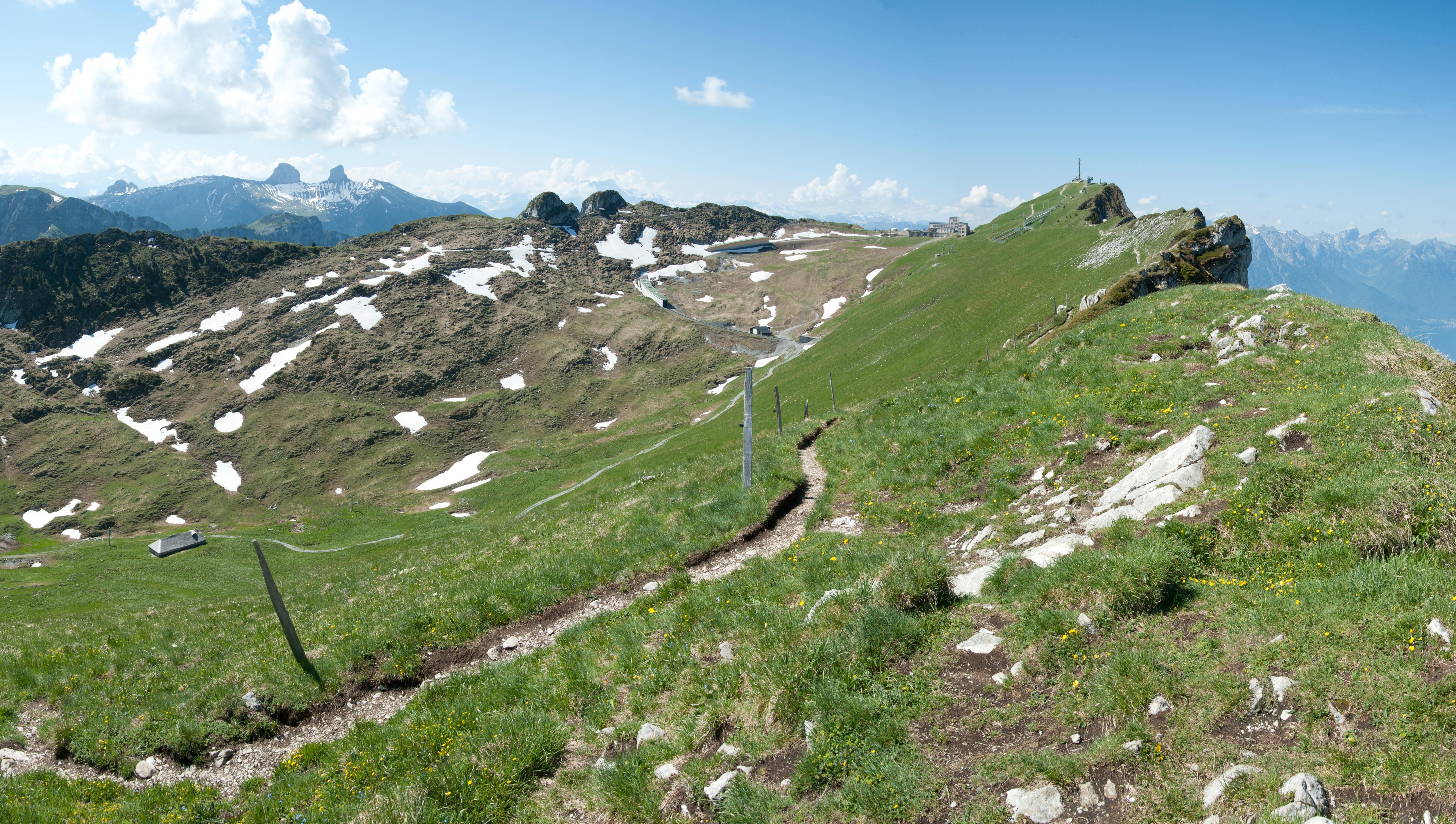
To evaluate the relevance of variables inferred from digital elevation models, Leempoel set up an array of environmental sensors on a ridge just north of the summit of the Rochers de Naye, a mountain overlooking Lake Geneva. The sensors logged air temperature, humidity, and soil moisture. Then he acquired a very-high resolution digital elevation model of the ridge using high precision measurements from a helicopter. Finally, he used a statistical approach to determine to what extent the variability of the observed climatic values could be described using variables that were generated from a high-resolution digital elevation model.
So what is the optimal resolution to approximate environmental parameters? It depends on where you are and what you are trying to approximate. “What we highlight is that scale is important. Not all variables are estimated better using higher resolution digital elevation models,” says Leempoel. In general, soil characteristics were best described using variables at the highest spatial resolution, whereas hydrological parameters were best inferred from intermediate resolution models.
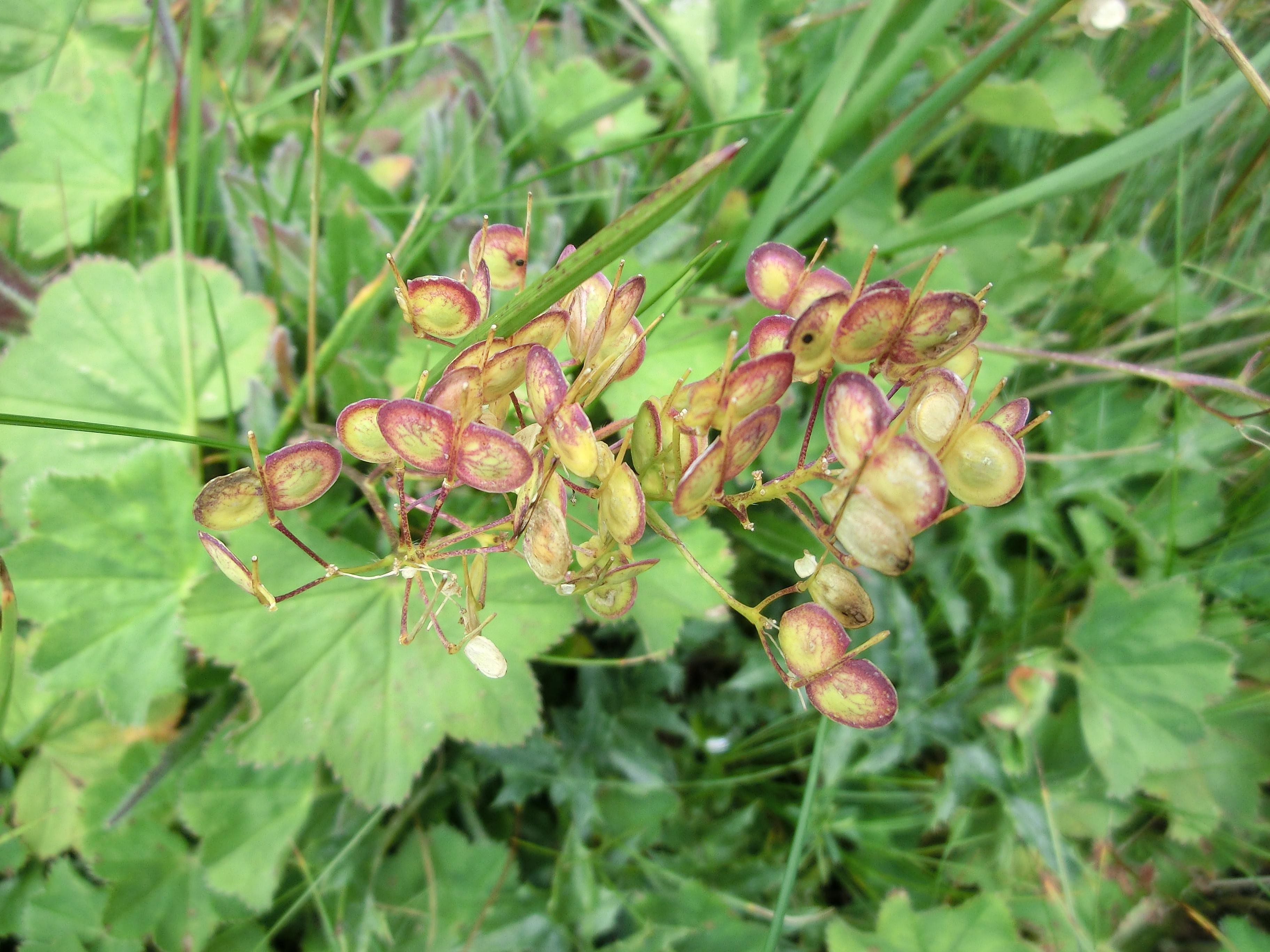
Leempoel is now planning to use these findings to study how small variations in these environmental factors influence the local adaptation of the common alpine flower Biscutella laevigata, or buckler mustard, which is present along the ridge at the Rochers de Naye.
Links
Images to download