Archival photos offer research value

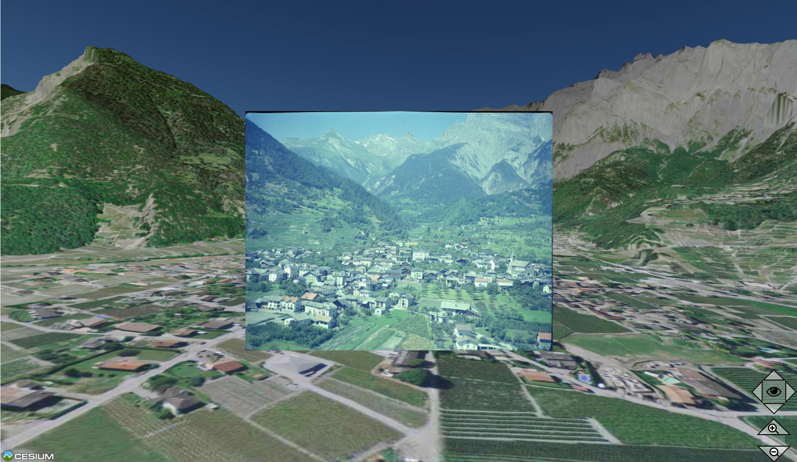
Smapshot lets users position archival photos over a virtual map of contemporary Switzerland. © EPFL/Swisstopo
A crowdmapping project developed by EPFL and HEIG-VD gives volunteers the chance to compare the Switzerland of the 1960s with that of today through archival photos. An exhibition organized by EPFL’s Modern Construction Archives will show the research implications of these historical photos.
Launched just six weeks ago, Smapshot is a public web portal on which anyone can geotag aerial photographs of Switzerland from the 1960s. They superimpose the provided photos onto a virtual map of contemporary Switzerland that was built from data provided by the Federal Office of Topography (Swisstopo). Users can then add anecdotes about the location, provide additional topographical information, chat with other users and share their discoveries on Facebook. And as thanks for their help, they are allowed to print the archival photo that they geotagged.
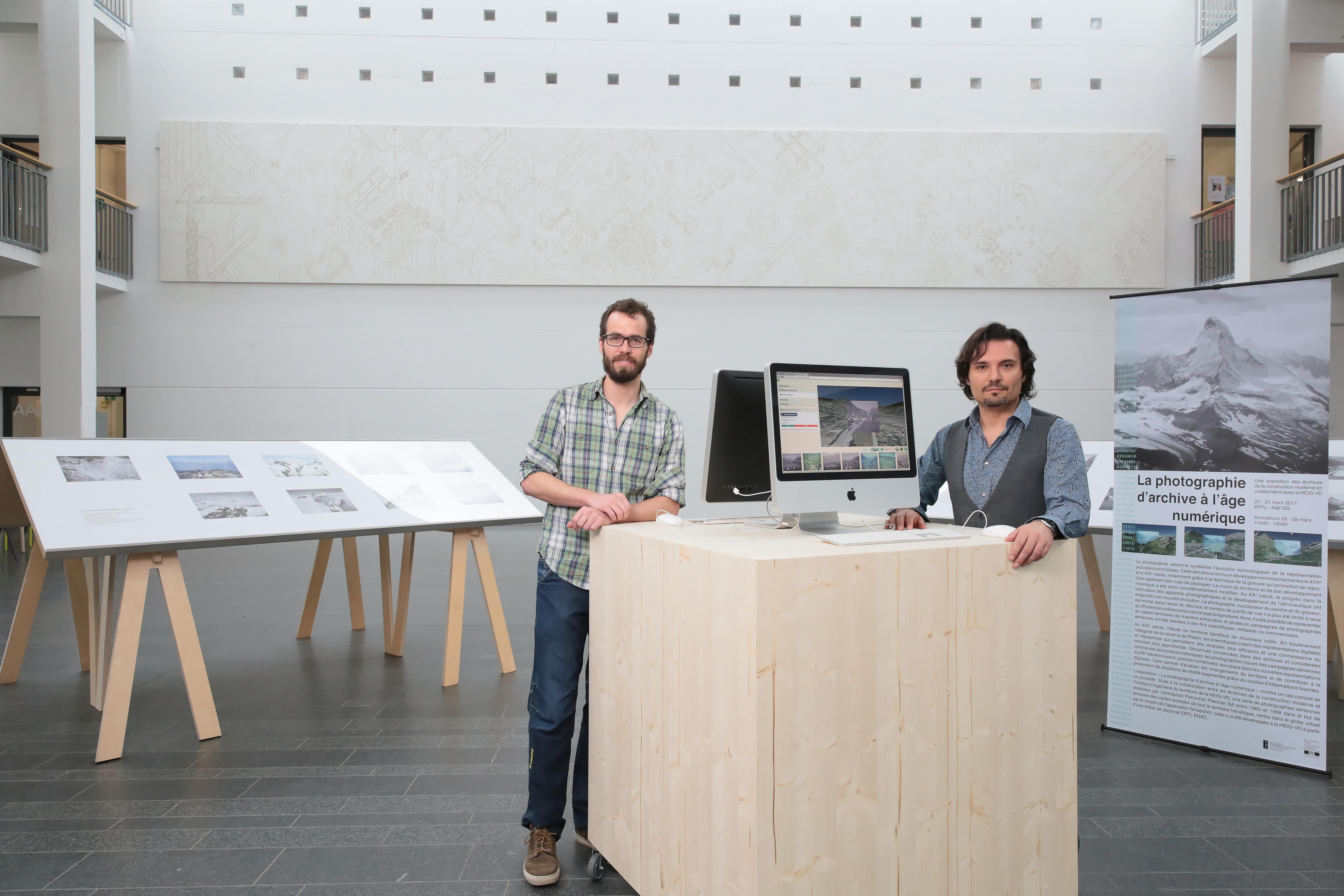
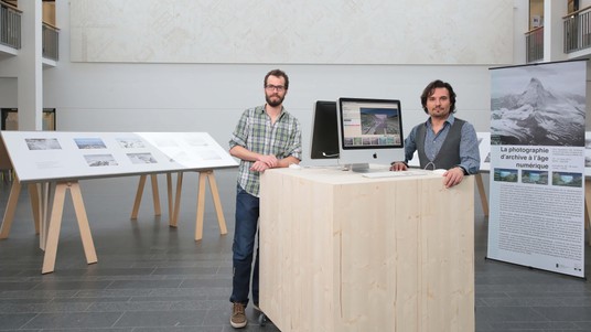
The crowdmapping project, a joint initiative of EPFL and HEIG-VD (the Vaud School of Management and Engineering), could lead to some interesting applications in research, urban development and augmented reality. An exhibition organized by EPFL’s Modern Construction Archives (ACM), from 27 to 31 March 2017, will describe how Smapshot works and the promise that it holds. The display will include archival photos of the A1 highway under construction, the city of Lausanne, the Vaud landscape seen from Lake Geneva and the Gotthard Pass.
Initially a business venture
In the 1960s, Perrochet SA was a thriving photography business in Lausanne. Aerial photos were its calling card, and its main product was postcards for tourists. In 1960, Perrochet SA created Pleinciel, a company that spent the next eight years taking aerial photos of the entire country. The oblique photos were taken relatively close to the ground, and interesting features of the landscape and built areas often stand out.
Fifty years later, the Perrochet Pleinciel Collection of photographs, held at the ACM, gives us a full aerial view of Switzerland in the 1960s. In this it prefigures Google Earth – and it represents a gold mine for researchers. “Pleinciel was initially a business venture. Its creators had no idea how important their work would be,” said Salvatore Aprea, EPFL scientist and the deputy curator of the ACM.
Major research value
These photos are extremely valuable for research purposes, especially if Smapshot is a hit with internet users. “By geotagging these archives, we’ll see how Switzerland has changed over the past 50 years – melting glaciers, receding forests and the impact of development on the countryside. It will give urban planners, geographers, civil engineers and landscape architects a broader historical perspective of a given site, which will help them plan future development,” said Timothée Produit, a scientist at HEIG-VD. The Smapshot project arose out of Produit’s dissertation, which he conducted in EPFL’s Laboratory of Geographic Information Systems and completed in 2015. Aprea adds: “We could also recreate 1960s Switzerland using augmented reality, giving viewers the chance to travel back in time through the stories and facts provided by contributors.”
For the deputy curator, this pilot project will encourage people to view archives as a living depository of knowledge rather than a simple database. “I really believe that intelligent digitization and an open-source approach, guided by a defined goal, is the future of archives. At the ACM, we think we can achieve that by working together with other Swiss organizations.”
So where’s Google?
So far, around 1,200 of the 35,000 archival photos in the Perrochet Collection have been uploaded to Smapshot. They are mainly aerial views of the lower Valais region. Since Smapshot went live, 40% of those photos have been geotagged by volunteers. The ACM would eventually like to see the entire Perrochet Collection imported into the website’s virtual globe.
But Produit is thinking bigger: “I’m surprised that a company like Google doesn’t offer this type of service with Google Maps and Google Earth, you know, a feature for adding scanned archival photos to Google’s maps, the same way Smapshot does.”
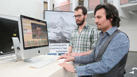
Exhibition

Images to download