A Drone That Finds Survivors Through Their Phones

© Alain Herzog
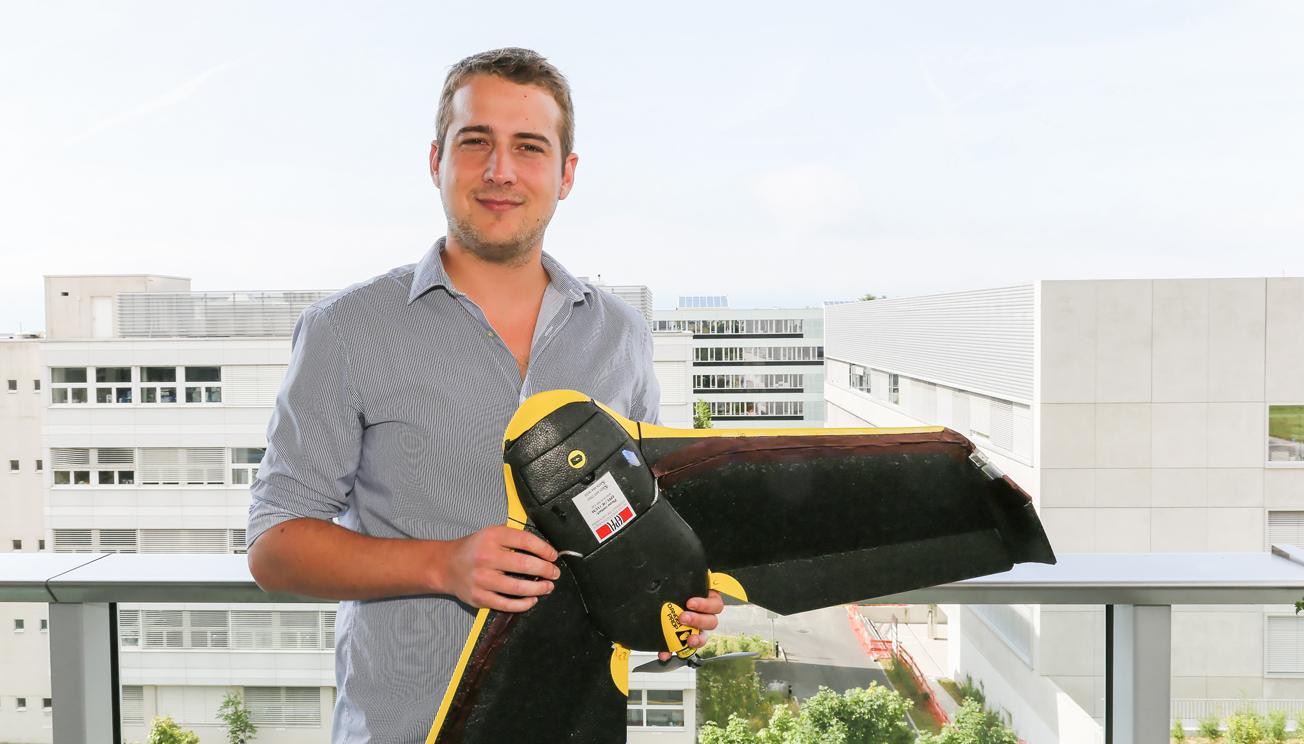
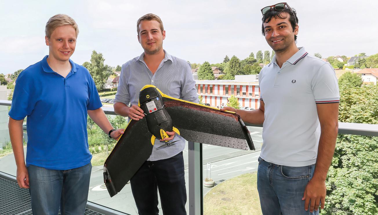
Summer series – student research (1): During his semester project in Communication Systems, Jonathan Cheseaux developed a system for locating a person via his or her mobile phone with a drone. This device could be used to find victims in natural disasters.
A drone makes large circles in the sky. With two powerful antennas, it sniffs the data packets emitted by mobile phones. On the ground, an interface developed specifically for this project makes it possible to track the flight of a small robotic aircraft in real time from a computer. Colored dots visible on the screen map indicate the spotted phones. The vehicle tightens its flight around the selected device to indicate its position. “In the best tests we have performed, the place indicated was within 10 meters,” says Jonathan Cheseaux, who worked on this project with Karol Kruzelecki and Stefano Rosati under the supervision of Bixio Rimoldi, head of the Mobile Communications Laboratory.
Following an earthquake or another natural disaster, it is often difficult to know the position of victims under the rubble. At a time when most people, even in poor countries, have a mobile phone, the team of Mobile Communications Laboratory had the idea of using them to know the position of victims and thereby facilitate a search. When WiFi mode is activated, the devices emit data packets at regular intervals so that it’s possible to know various parameters, including the power received by the antenna connection. This can vary depending on the surrounding terrain, the weather or interference. It is also weaker as the layer of rubble over a person is thicker—another important factor.
But there is little similarity between these signals and a distance in meters that would make it possible to know directly the position of the device. With the drone, it is the GPS points of the captured signals from several places that locate the phone. These benchmarks are considered the center of circles which could potentially find the phone. The intersection of the latter determines the location of the phone and, therefore, probably the person. “By refining the system to automatically eliminate weaker signals, the system has become even more accurate,” explains the master’s student. “Flight tests have located a cell phone on campus with high accuracy.”
“The drone’s WiFi antenna could be replaced by Avalanche Victim Detectors (DVA) which would enable the rapid and inexpensive deployment of the first avalanche searches,” predicts the student, who is also an amateur mountaineer.
In the second part of his work, Jonathan Cheseaux also noted the challenge of connecting to the WiFi network of a device through the drone – without human intervention. An antenna on the plane permits the device to guess the identity of the router that connects the phone and then pretends to be it. It can thereby establish communication. “In the case of natural disasters mentioned above, it would provide a substitution network when connections have been destroyed,” he says. But for now, this system only works if the network is open and not password protected. This work has also helped highlight issues of confidentiality and the protection of private data. Recovering the names of registered WiFi (SSID) by a smartphone is done to establish the habits of owners. For example, it may have a list of “EPFL,” “Fitness,” “Café-so,” “House,” et cetera. The MAC address, a unique identifier, can also be recovered by the drones. It identifies the device brand and deconstructs statistics on the distribution of smartphone / router / printer brands.
Jonathan worked at one aspect of a much larger project called SMAVNET II. http://smavnet.epfl.ch/
Images to download